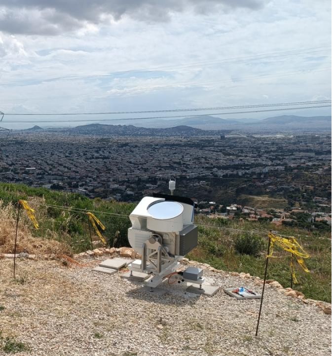
CLOUD RADAR
The RPG-FMCW-94-DP is a high-resolution cloud radar system designed for the detailed profiling of clouds and their microphysical properties. It is a frequency-modulated continuous wave (FMCW) radar with scanning and polarimetric capabilities that operates at frequency of 94 GHz (W-band, wavelength 3 mm) and is manufactured by RPG Radiometer Physics GmbH. The system provides exceptional sensitivity for detecting cloud droplets, ice crystals, and light to moderate precipitation. The full-sky scanning capabilities, enable the transition from standard vertical profiling to multi-angle volumetric observations of the atmosphere. Additionally, the depolarization capability allows to effectively distinguish between liquid and ice phases for investigating cloud-aerosol-precipitation interactions, studying cloud dynamics, and validating satellite observations under the highest standards of the European research infrastructure.


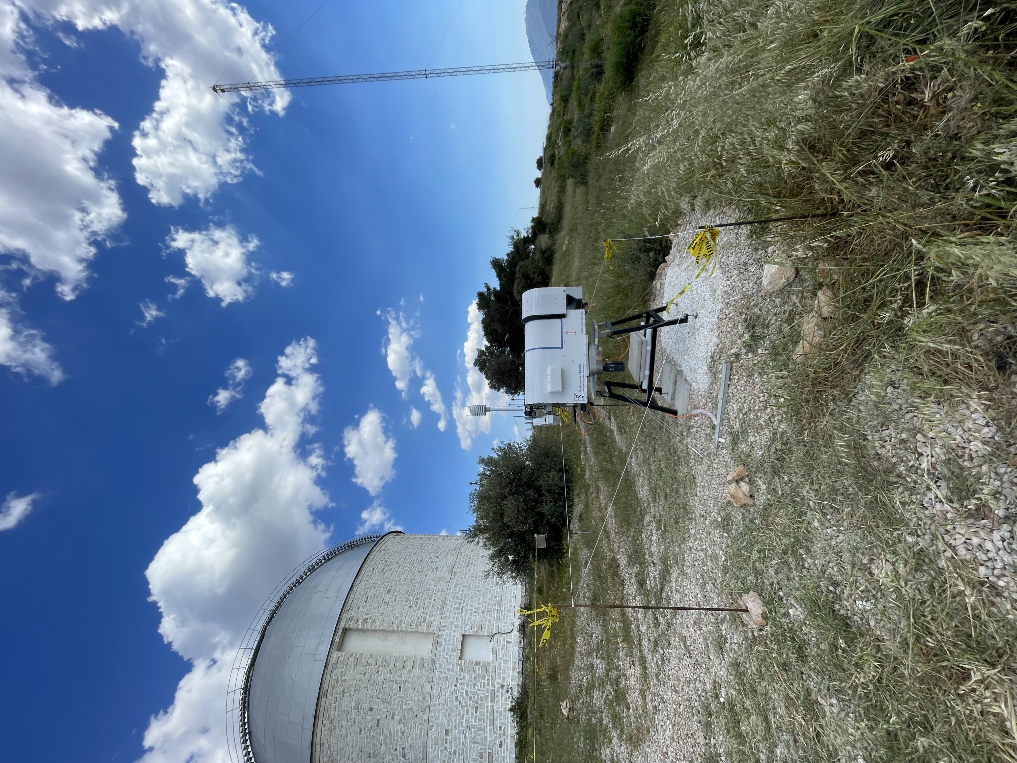
MICROWAVE RADIOMETER
The RPG-HATPRO-G5 is a microwave radiometer system designed for the continuous, automated profiling of tropospheric temperature and humidity. It is a passive remote sensing instrument with full-sky scanning capabilities that operates across 14 channels in two distinct frequency bands (K-band: 22–31 GHz for water vapor and V-band: 51–58 GHz for oxygen) and is manufactured by RPG Radiometer Physics GmbH. The system provides high sensitivity and high temporal resolution for retrieving vertical profiles of atmospheric temperature and absolute/relative humidity. The elevation-scanning capabilities enable the boundary layer mode, providing high-resolution temperature profiling and precise detection of inversions. Additionally, the system effectively provides integrated variables such as Integrated Water Vapor (IWV) and Liquid Water Path (LWP).


WIND LIDAR
The Doppler Lidar Streamline AllSky XR is a high-resolution, pulsed coherent Doppler lidar system designed for the profiling of wind fields and aerosol backscatter properties. It is an active remote sensing instrument with full-sky scanning capabilities that operates at a near-infrared wavelength of 1.55 µm and is manufactured by Halo Photonics (distributed by METEK GmbH). The system provides aerosol backscatter, radial velocity, signal-to-noise ratio (SNR), and spectral width variables. The Lidar’s scanning capability enables the transition from standard vertical stare profiling to user-defined hemispherical scan patterns (such as VAD and RHI) for mapping three-dimensional wind vectors. Additionally, its advanced signal processing with variable and overlapping range gate configurations allows to effectively derive horizontal wind profiles and turbulence parameters for investigating boundary layer characteristics, and tropospheric dynamics.
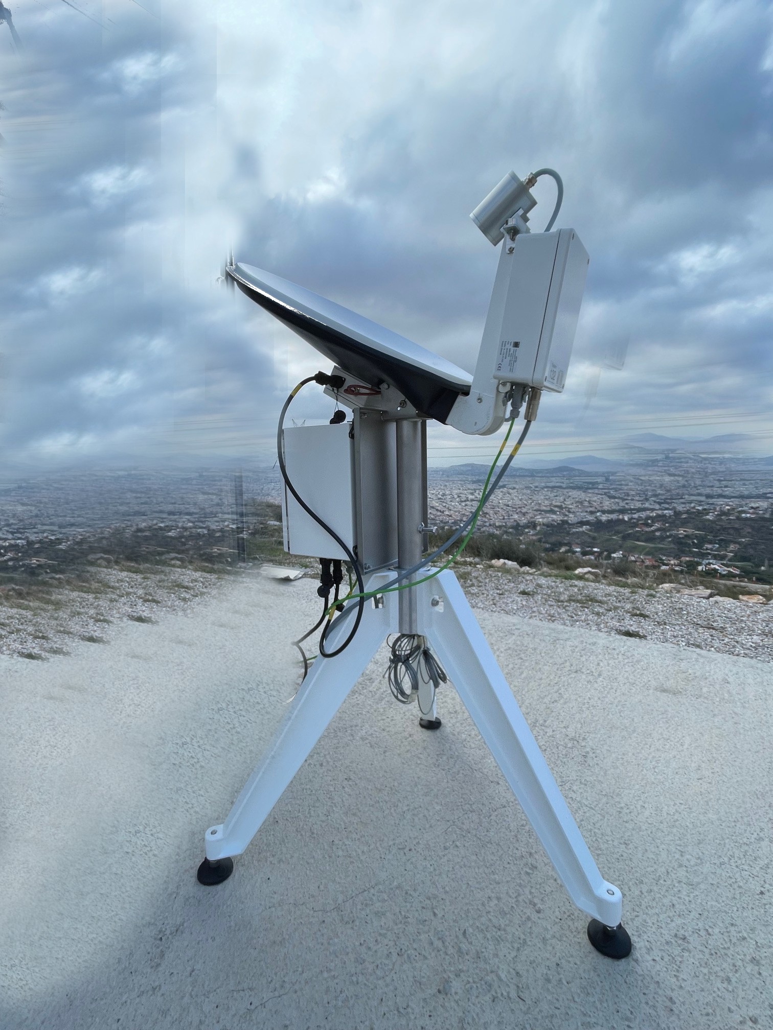
MRR
The Micro Rain Radar MRR-PRO is a high-resolution meteorological radar profiler designed for the detailed vertical profiling of hydrometeors and precipitation properties. It is a frequency-modulated continuous wave (FMCW) Doppler radar that operates at a frequency of 24.23 GHz (K-band) and is manufactured by METEK GmbH. The system provides high sensitivity and high temporal and vertical resolution for detecting hydrometeors, and the melting zone (bright band). The vertically pointing, stand-alone system enables continuous profiling of Doppler spectra ranging from near-surface levels up to 6 km. The integrated data evaluation and automatic melting layer detection allow to effectively derive parameters such as drop size distribution, rain rate, and liquid water content.
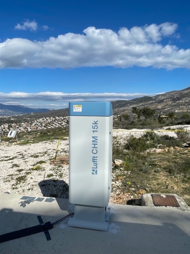
CEILOMETER
The Ceilometer CHM 15k is a high-resolution, automated optical profiler designed for the continuous, detailed monitoring of clouds and aerosols. It is a single-wavelength backscatter lidar system with eye-safe (Class 1M) routine operation that operates at a near-infrared wavelength of 1064 nm (using a microchip Nd:YAG solid-state laser) and is manufactured by Lufft (OTT HydroMet). The system provides high-precision photon-counting detection for capturing aerosol backscatter profiles from near-surface levels up to a maximum range of 15 kilometers. Additionally, the system’s evaluation algorithms can multiple cloud base heights, cloud penetration depth, vertical visibility, and planetary boundary layer or aerosol layer heights.
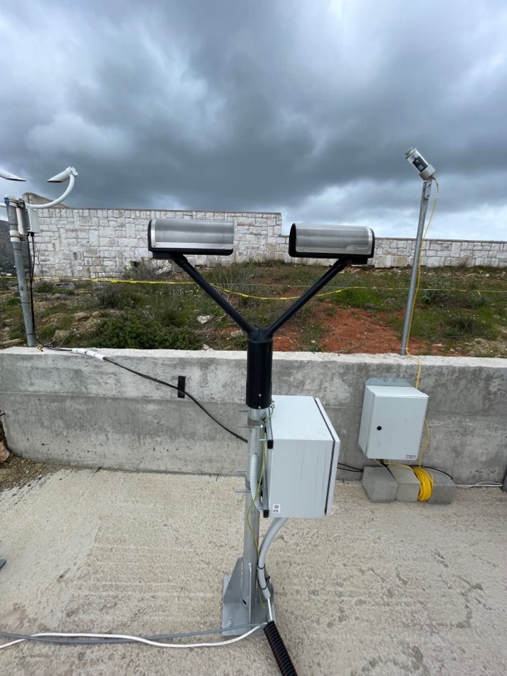
OTT
The OTT Parsivel² is an automated laser disdrometer designed for the comprehensive, continuous monitoring of all precipitation types. It is an optical-based-transmission system that utilizes a laser beam to capture both the size and falling velocity of individual precipitation particles simultaneously. As particles pass through the laser sheet, the system precisely classifies them into one of 32 separate size and velocity classes. From these raw distribution data, the system’s evaluation algorithms calculate a wide array of meteorological parameters, including precipitation type, total precipitation amount, rain intensity, and raindrops size distribution. Additionally, the Parsivel² determines real-time visibility within the precipitation event and computes the equivalent radar reflectivity factor Z.
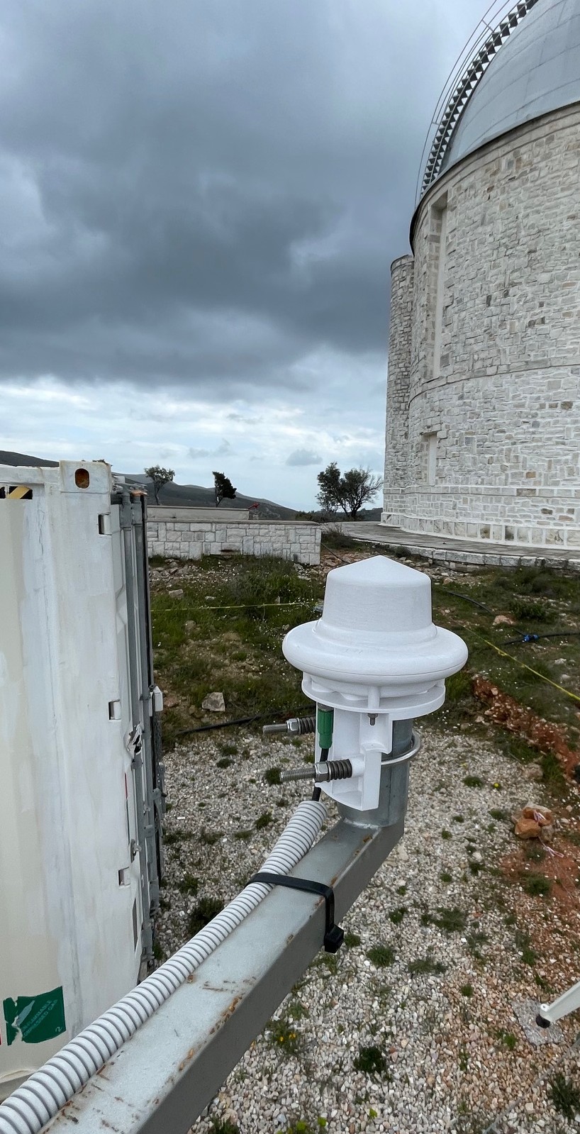
SMART WEATHER SENSOR / SMART DISDROMETER (WS100)
The Lufft WS100 is a high-resolution, automated radar precipitation sensor and smart disdrometer designed for maintenance-free, real-time hydrometeorological monitoring. It operaties as a solid-state system without moving parts, utilizing a 24 GHz microwave Doppler radar module combined with a specialized focusing lens to track the falling velocity and signal reflection of individual hydrometeors over a 9 cm2 measurement surface. The system’s internal evaluation algorithms can detect precipitation from the very first drop, providing instantaneous event tracking and high-resolution intensity outputs starting at 0.01 mm/h by correlating particle velocity and size based on fundamental meteorological relationships. The WS100 precisely classifies droplets into an 11-class drop size distribution matrix allowing it to instantly differentiate between liquid and solid precipitation types, including rain, drizzle, snow, sleet, freezing rain, and hail.
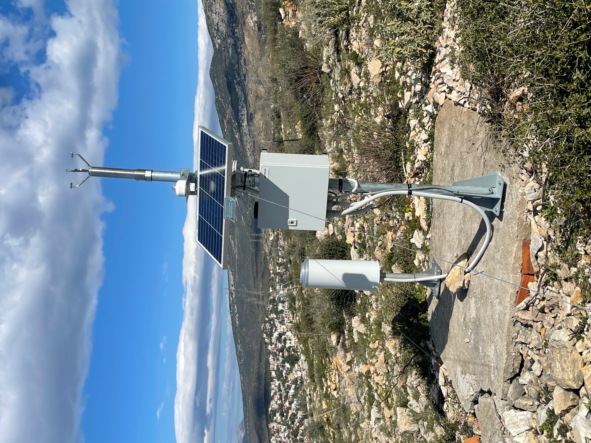
AUTOMATED METEOROLOGICAL STATION
The Automated Meteorological Station is a multi-parameter environmental monitoring platform that delivers real-time atmospheric datasets. The system features a modular sensor suite designed to simultaneously track key thermodynamic, dynamic, and radiant energy variables. This includes high-precision measurements of wind speed, wind direction, ambient air temperature, relative humidity, absolute humidity, dew point, atmospheric air pressure, and global solar radiation.
PANGEA-ReACT Facility
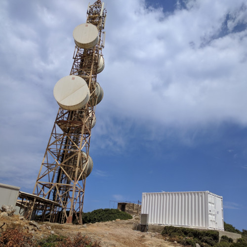
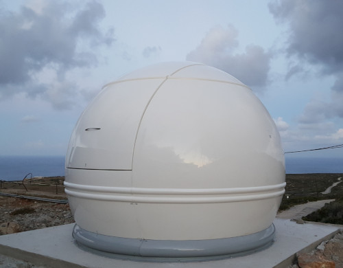
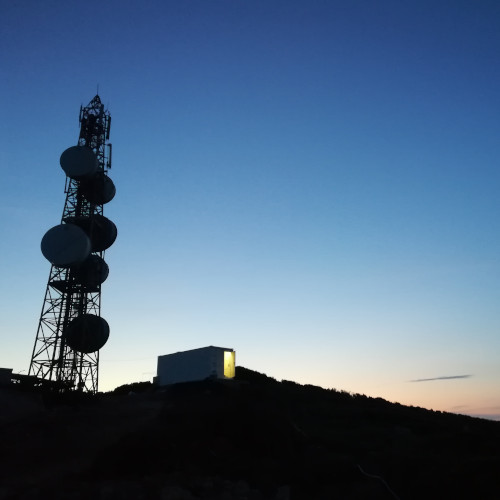
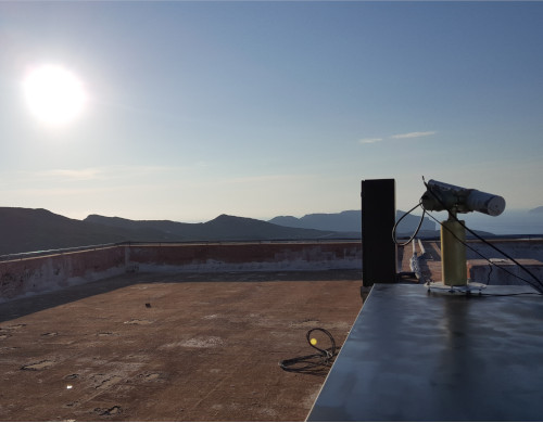
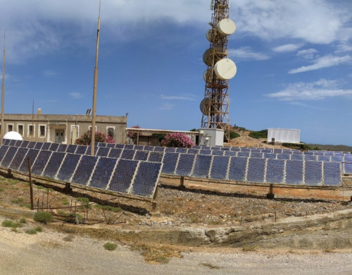
PANGEA (PANhellenic GEophysical observatory of Antikythera) is an ambitious strategic goal of NOA to establish a sustainable climate observatory at the island of Antikythera (35.861N, 23.310E, 110m a.s.l). The site has been selected by NOA and PANACEA due to its representativeness of the broader region of Eastern Mediterranean. The region is a crossroad of air masses transporting different aerosol types, significantly impacted by mineral dust from Africa, smoke from frequent regional forest fires, anthropogenic pollution from megacities and background sea-salt particles.
NOA and ReACT Group are currently implementing the PANGEA-ReACT facility at Antikythera, an instrumental suite that fulfills the optimum requirements of the ACTRIS RI.